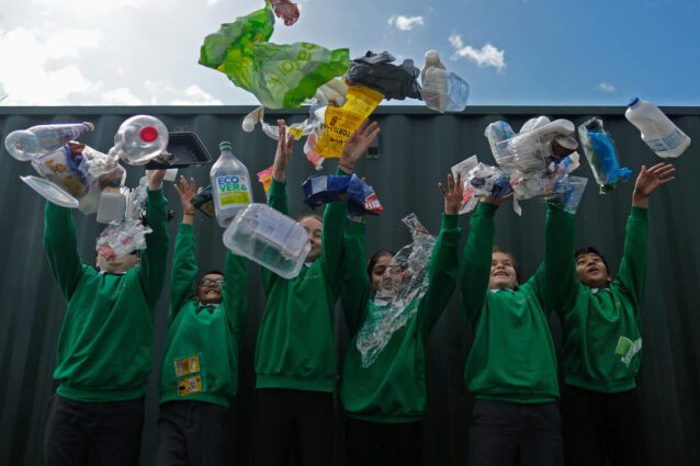
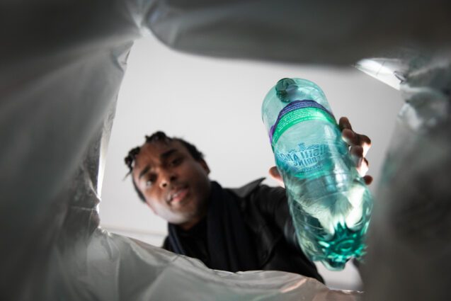
Schools, households, community groups and businesses up and down the country counted their plastic waste for a whole week in March to reveal the state of the UK's plastic waste problem. The Big Plastic Count 2024 is finished, and it's time to see the results.
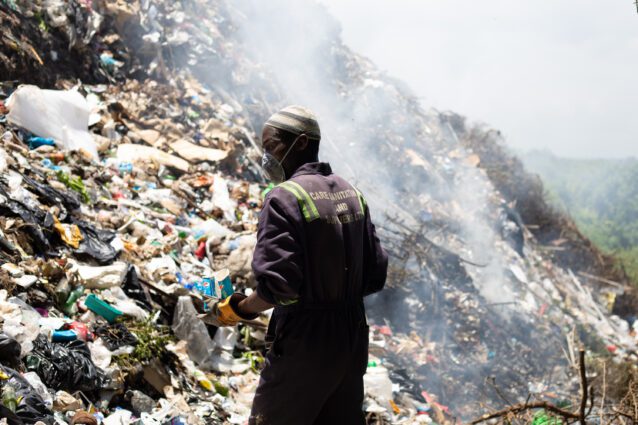
Waste pickers all over the world are vital to reducing the impact of pollution on people living in poverty. Find out about the lives of waste pickers – and what the Global Plastics Treaty must do to support them.
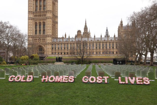
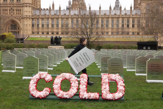
On average 58 people have died a day every winter because of cold homes since government cuts to insulation funding. So we built a cemetery in their memory outside Parliament.
The protest comes as a new analysis of official data reveals that, on average, 58 people a day have died due to cold homes since government cuts to insulation funding 2013
Nationwide, 100,000 participants, including nearly 13,000 school classes, are participating in The Big Plastic Count this week. It is a unique opportunity for households to gather evidence for the government about the extent of the UK’s plastic waste problem.